Yesterday I had planned to hike Burgan Creek Falls, but after finding out that my friend Allison received several yellow jacket stings near the falls, I decided to forego hiking and come straight to the cabin where we are staying for the next few days. Tomorrow, Beth and I are doing a long shuttle hike, so today I’ll be taking it easy with a couple of short hikes and some roadside waterfalls.
Despite having lived in western North Carolina for most of the last decade, and despite hiking and exploring Nantahala National Forest an average of twice a week, every week since moving here part time in 2013, there are still so many places I haven’t seen. Nantahala National Forest, Nantahala meaning Land of the Noon Day Sun in Cherokee, is MASSIVE. At 531,148 acres, it is the largest national forest in North Carolina, and is divided up into three ranger districts: The Cheoah, the Tusquitee, and the Nantahala. I’ve barely scratched the surface on the first two, but that changes this week!
Yellow Creek Falls
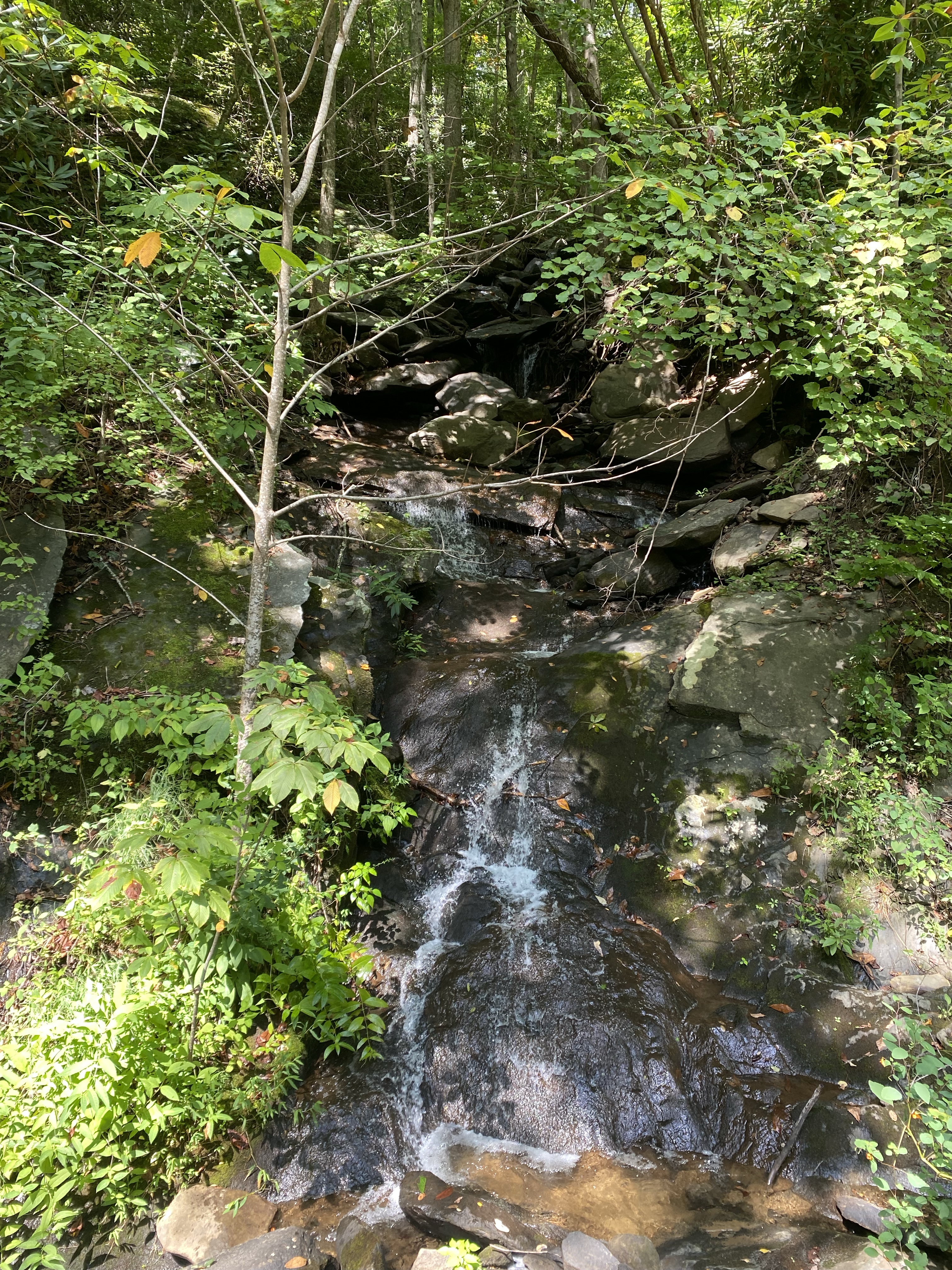
I decide to do a short waterfall hike to Yellow Creek Falls, a relatively popular waterfall near Robbinsville, NC. I arrive to the trailhead around 10am and find one other car already there. Counting my blessings that this hike isn’t going to be terribly crowded at this hour on a weekday, I follow the muddy, rooty path upstream. Yellow Creek is a gorgeous body of water that flows into the Cheoah River just downstream from the trailhead parking. I enjoy walking along the creek, my hike punctuated by the sound of rushing cascades and falling water, until I reach the waterfall. The couple who I assume came in the one other vehicle are at the falls when I arrive, and I offer to take a photo for them. Afterward, I decide to wade in the plunge pool for a better view.
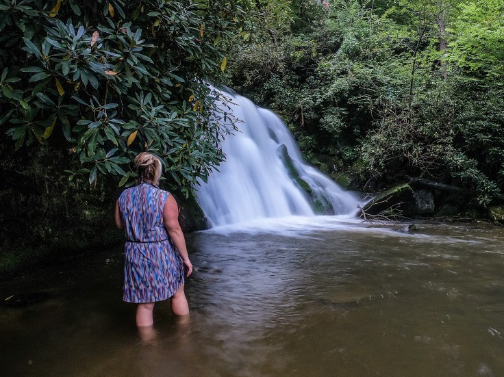
The water is clear and ice cold; I’ve been spoiled by the warm streams and rivers of West Virginia this summer, but I relish the slight chill that courses through my body as my skin and blood become accustomed to the frigid North Carolina water. I set up my GoPro and snap a few photos before being joined at the base of the falls by a family setting up for family portraits, their children in perfectly matched outfits. I take this as my cue to move on, and start the hike back to the car.
Robbinsville Hub: Roadside Waterfalls
Kevin Adams’ Waterfall Challenges include a list of 100 “disabled access” or roadside waterfalls that, sometimes, in trying to meet the goal of a list, include some mediocre waterfalls. These 100 waterfalls are also on the 500 list, and therefore are on my list of waterfalls to check off. Perhaps these roadside waterfalls are more impressive at a different time of year, or perhaps they used to be nicer. Based on photographs I’ve seen recently, I don’t have high hopes for the six Robbinsville hub roadside waterfalls that I intend to see today, and it turns out for the best: at least I’m not terribly disappointed!
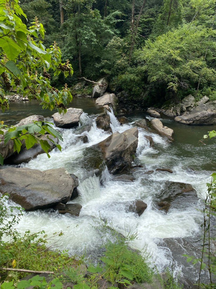
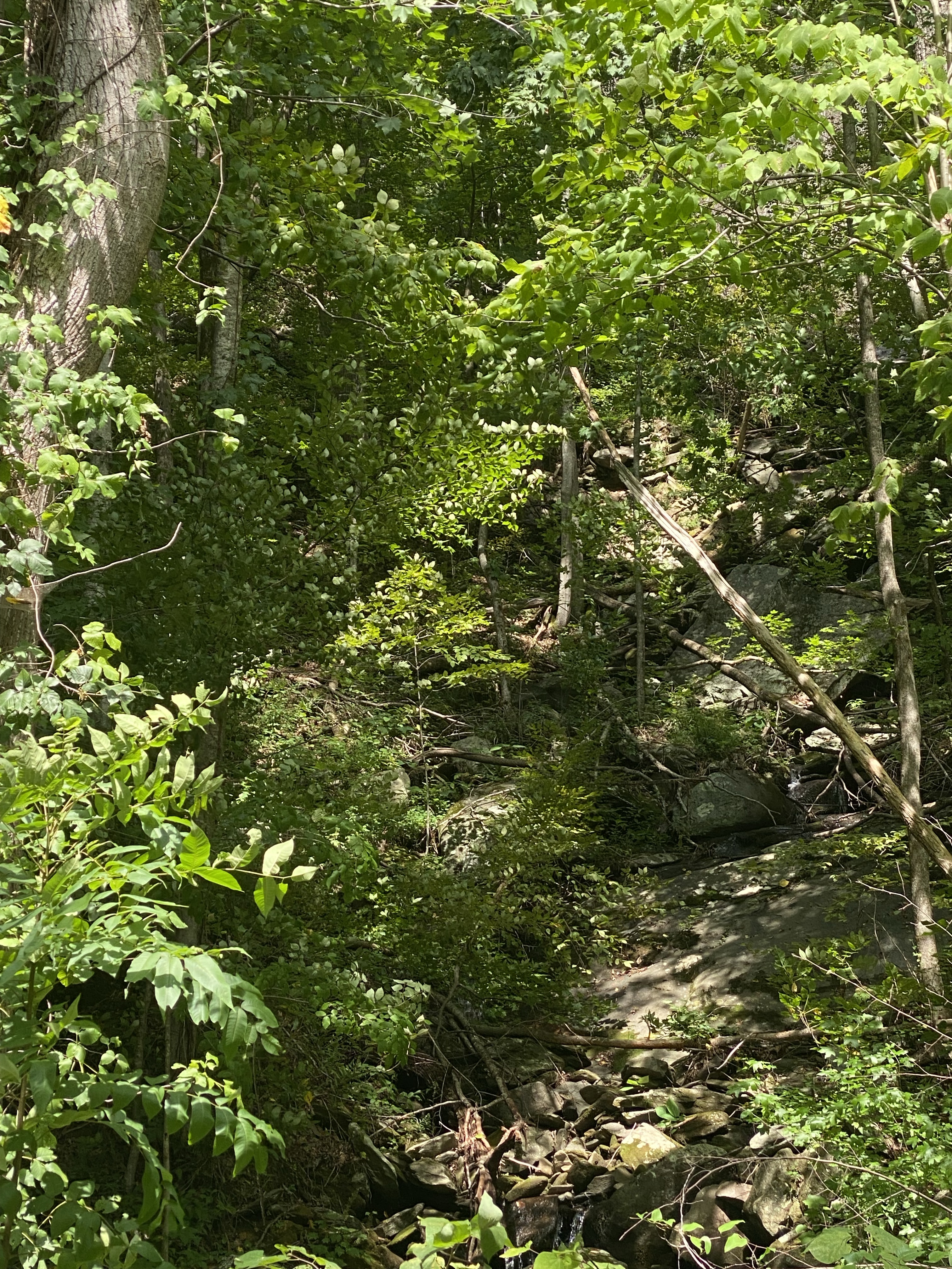
First up, and just west on Tapoco Rd (129) from Yellow Creek Falls TH, are the two roadside waterfalls with the name “Bear Creek Falls.” One of these is actually on Bear Creek, as it falls into the Cheoah River. The other is a river-wide falls on the Cheoah itself, just upstream from where Bear Creek drops into it. Confusing? Yes. I’m able to visualize both of these “falls” as I drive by on 129, but it’s difficult to get a good look at them through the late summer foliage. I decide to be content with the view I got and forego trying to get photographs. I’ll stop on my way back, when I’m headed the correct direction on the road, to see if I can snap a quick picture.
Continuing on 129 past Cheoah Dam, Falls on Aiken Branch is my next stop. This waterfall is barely a trickle sliding down some wet rocks, not photo-worthy, and honestly I wouldn’t even call it a waterfall, but it’s on the list so I check it off and continue on down the line.
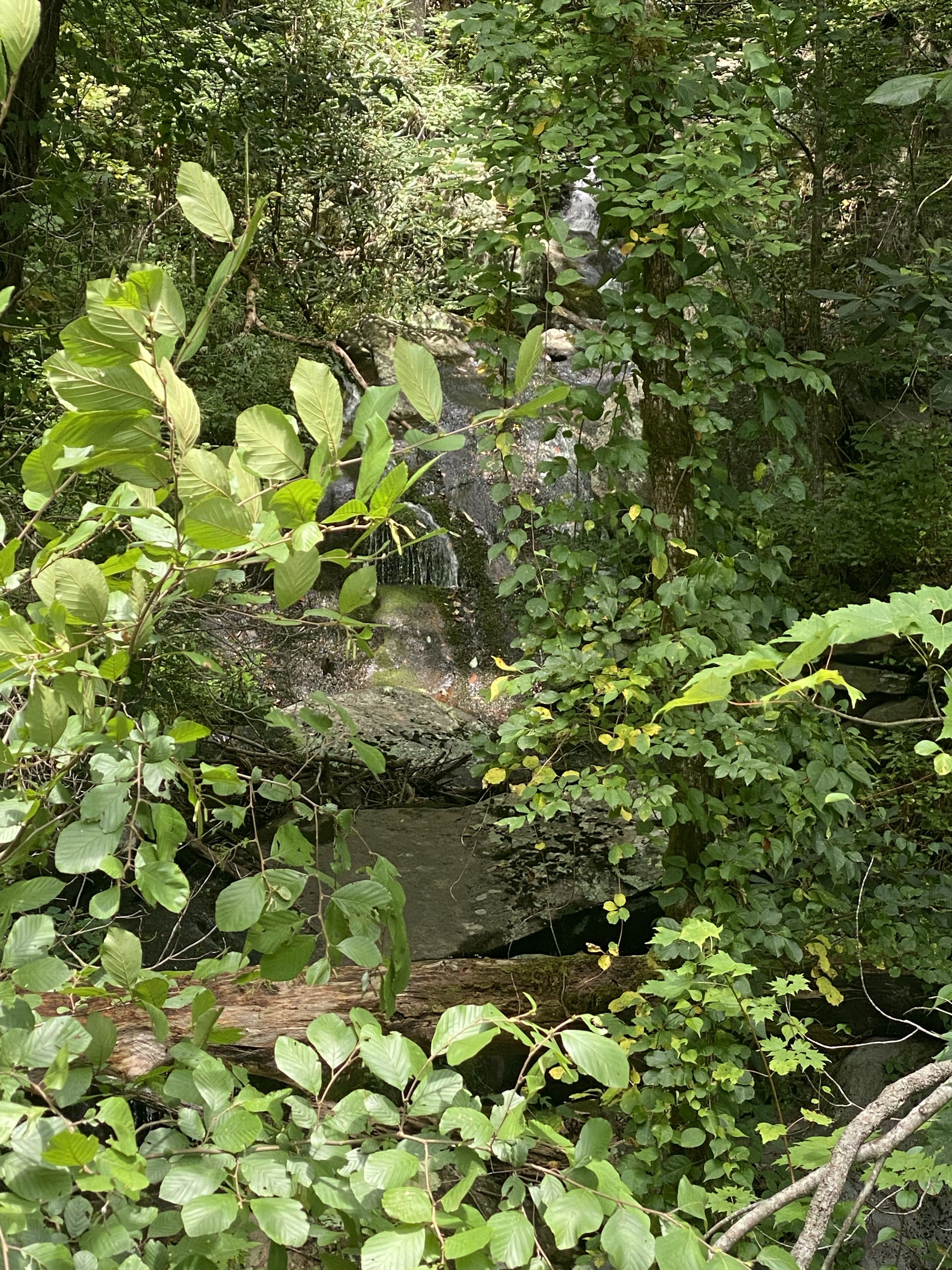
Next on the list is Falls on Judy Branch. This waterfall does have an upper drop that is probably pretty in high flow, but today it’s hardly flowing, and what is flowing is obscured by foliage.
My last stop on 129 is Falls on Sweets Branch, which is a small trickle dumping into the ditch on the side of the road. Again, I wouldn’t really call this a waterfall. I check it off and find a spot to turn around. Note to anyone reading this who isn’t working on any “lists” and who is just looking for easy-to-access waterfalls: don’t bother with ANY of these. Not worth the drive.
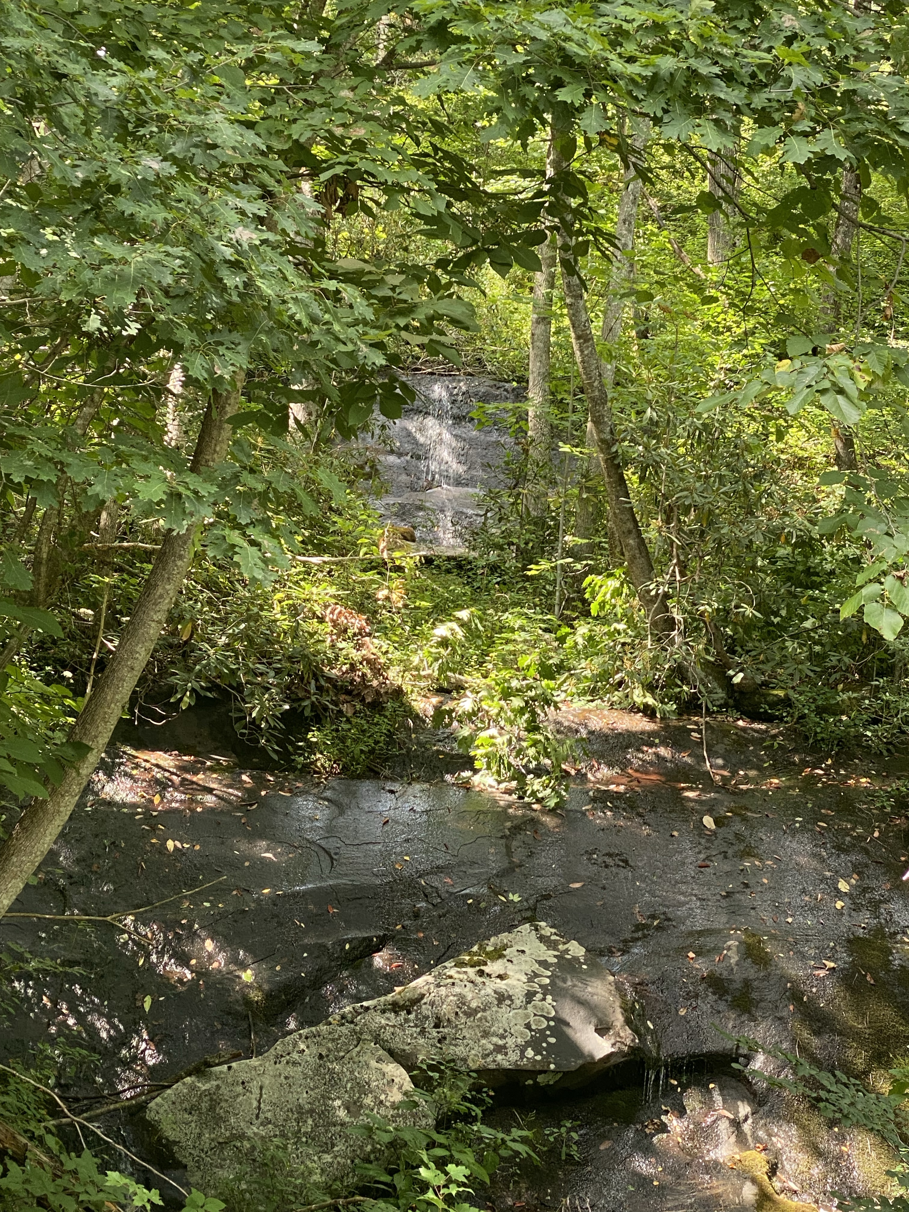
Heading back the way I came on 129, I aim for Santeetlah Gap, the beginning of the Cherohala Skyway. Here, I take Santeetlah Rd past Verlie’s Falls and up to Maple Springs Overlook. Verlie’s Falls, like the others, is lackluster at best.
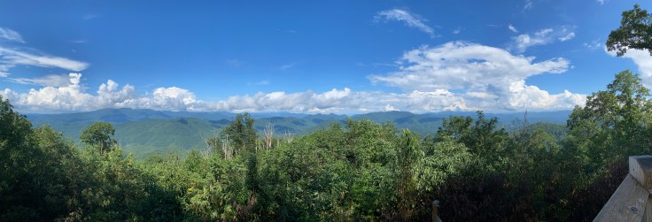
Maple Springs Overlook is a short (0.2) mile handicap-accessible boardwalk loop out to an incredible viewing platform. This was honestly the highlight of this driving tour and made the whole thing worth it.
Joyce Kilmer Memorial Forest
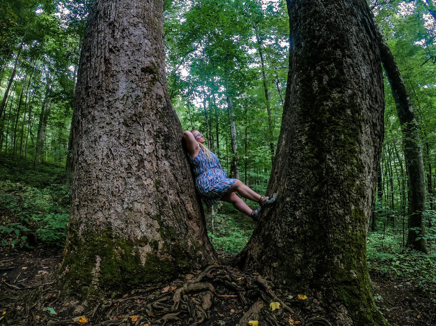
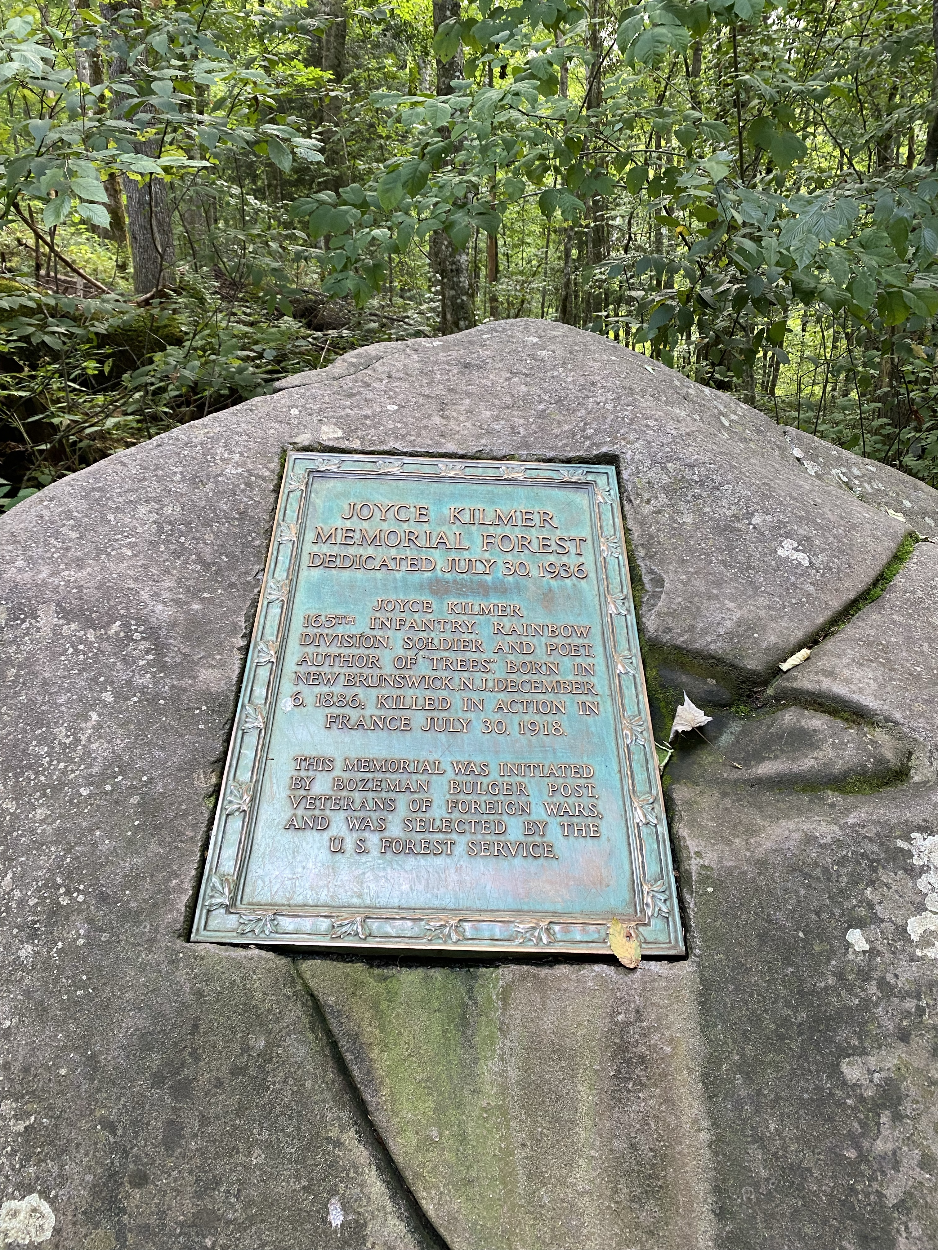
My final destination for the day, and the one I’ve been most looking forward to, is the famous Joyce Kilmer Memorial Forest. I heard about this forest many years ago, and somehow never made time to visit until today. There’s so much to see and explore in the surrounding Joyce Kilmer-Slickrock Wilderness, a wild and rugged place full of old-growth trees, steep and rocky hillsides, and some of the most formidable trails in the southeast. Today, however, as dusk rapidly approaches, I’ll be doing a loop hike in the Memorial Forest and and saving the more remote areas for another time.
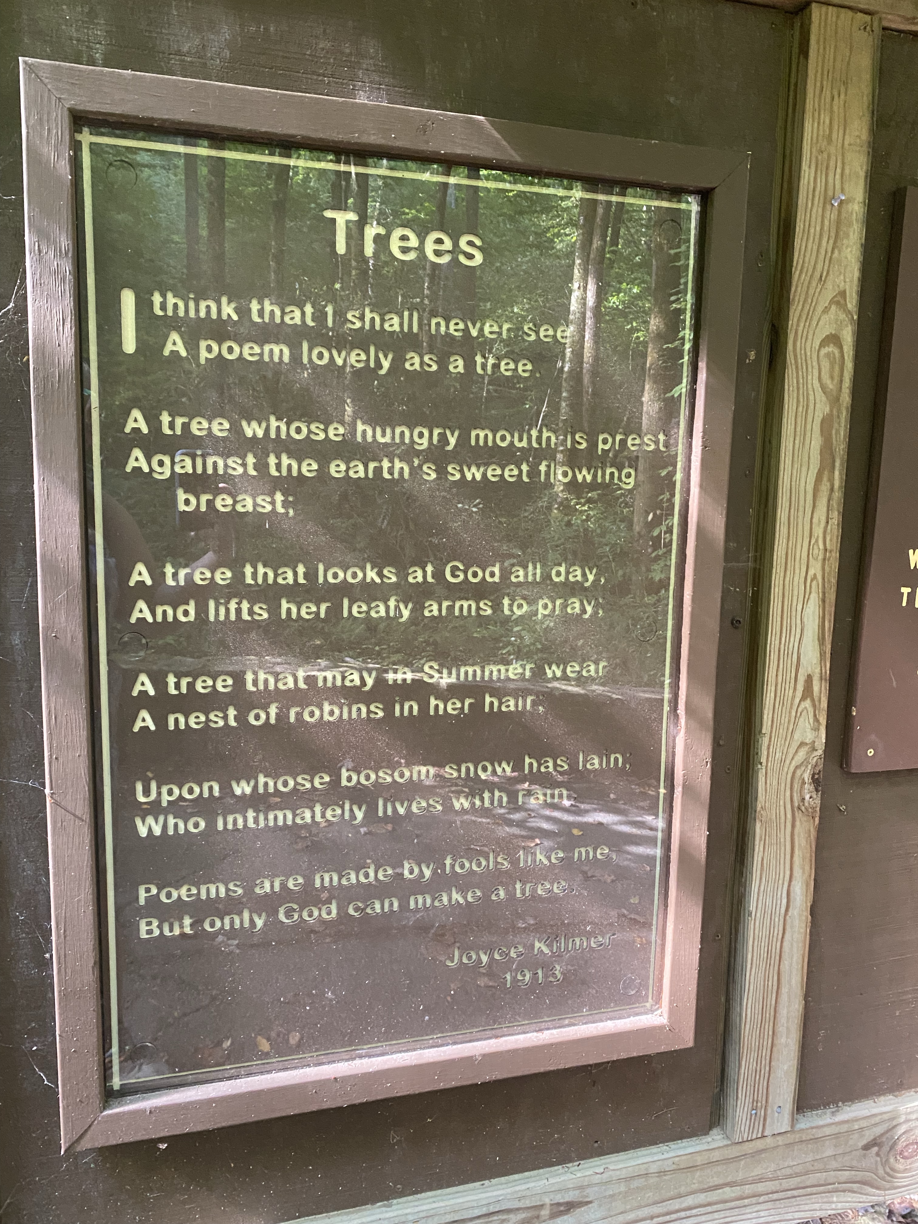
The primary attraction of this forest are the old-growth tulip poplar trees which were spared logging and have grown to impressive heights and circumferences. Some of the trees are over 400 years old! I approach the trailhead to hike the figure-8 loop through the forest, only to find that one side of the loop is closed due to a bridge being washed out. I find the other side and head out to do a lollipop loop instead.
Field notes: most of the large trees are on the back loop! If you’re physically capable, make sure you go the extra mile for these massive trees.
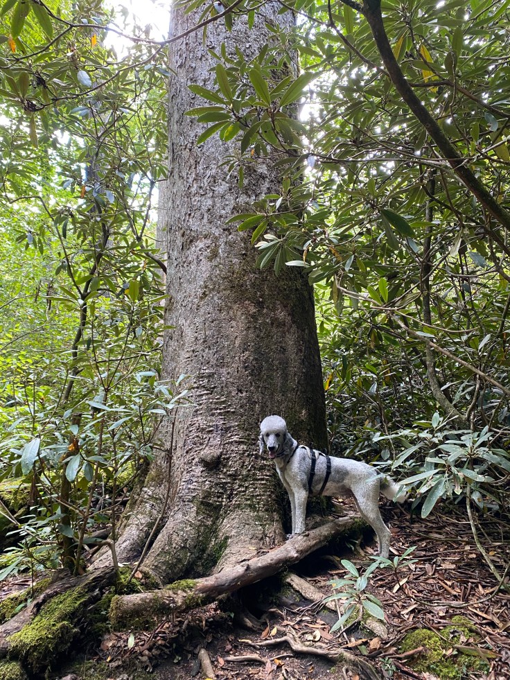
I spend some time pondering the magnificence of these ancient being and don’t make it out of the forest until nearly dark. Shooter and I load up and head back toward the cabin. We will get to bed early tonight to rest up for our long, difficult hike tomorrow.


Hi Stacia: You’ve probably already been there but, if not, next time you’re close to Robbinsville, look for Sassafrass, Upper, Middle and Lower Falls–lots of mileage but they’re all on the same trail. ❤
LikeLike
That’s actually the next blog post, going up today ☺️ I didn’t make it to sassafras yet because I went to three other off trail waterfalls and ran out of steam, so I have to go back for that one. Very cool area!
LikeLike
Can’t wait to read!!!! I love that area too.
LikeLike