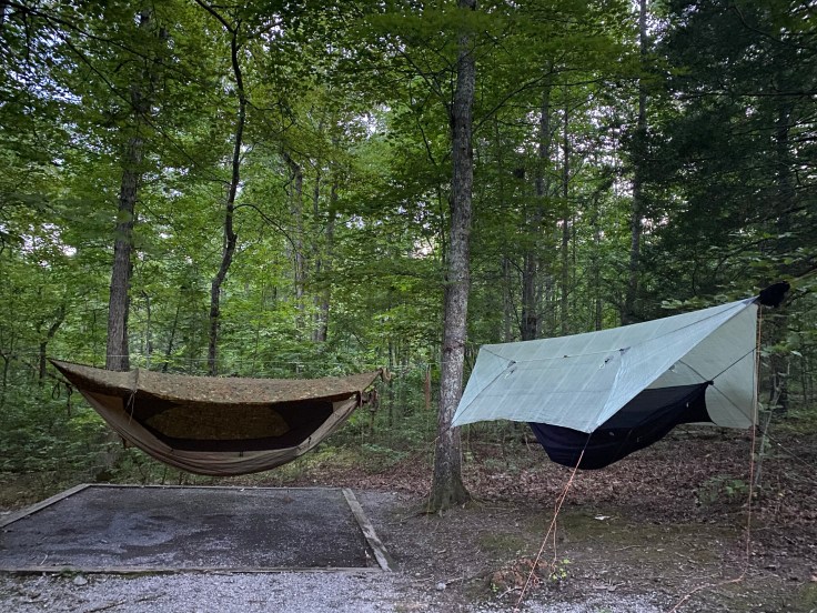
I stayed up way too late last night chatting with a new friend, Paul, at the campground. As a result I sleep in quite a bit this morning. This sun is already up, the air warm when I awake. Seneca Shadows has a decent bath and shower house, and I wander up the hill from my campsite to splash some water on my face in an effort to wash away the drowsiness. l don’t have a plan today, but I think I want to explore a little more of Dolly Sods. I’m feeling pretty low energy, probably from a couple of days with a packed schedule and because my body is still recovering from my recent Covid infection.
I’m not sure what the day will hold, so I decide to pack up camp. I have a suspicion I’ll end up back here tonight; it’s been so hot and humid that I’ve really enjoyed being able to shower at night and this is the only campground I’ve found nearby that has a shower house. I’m always a little nervous about leaving my gear set up, though, and figure it’s easy enough to just set it up again if I come back tonight. Paul recommends checking out Bear Rocks, which sounds great to me because it’s at higher elevation and today is supposed to be a scorcher.
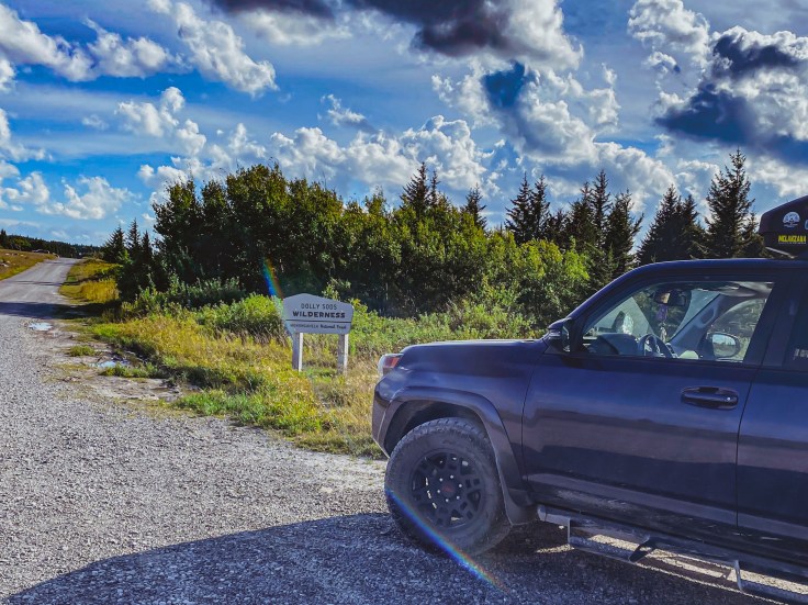
FR75 aka “Road Across the Sky”

In my research for this area I had found mention of the “Road Across the Sky.” This is a forest service road that crosses the high elevation plateau through Dolly Sods Wilderness. Amanda and I drove this road in to Bear Rocks yesterday but didn’t get out to explore, and due to the late hour we also didn’t take any photos.
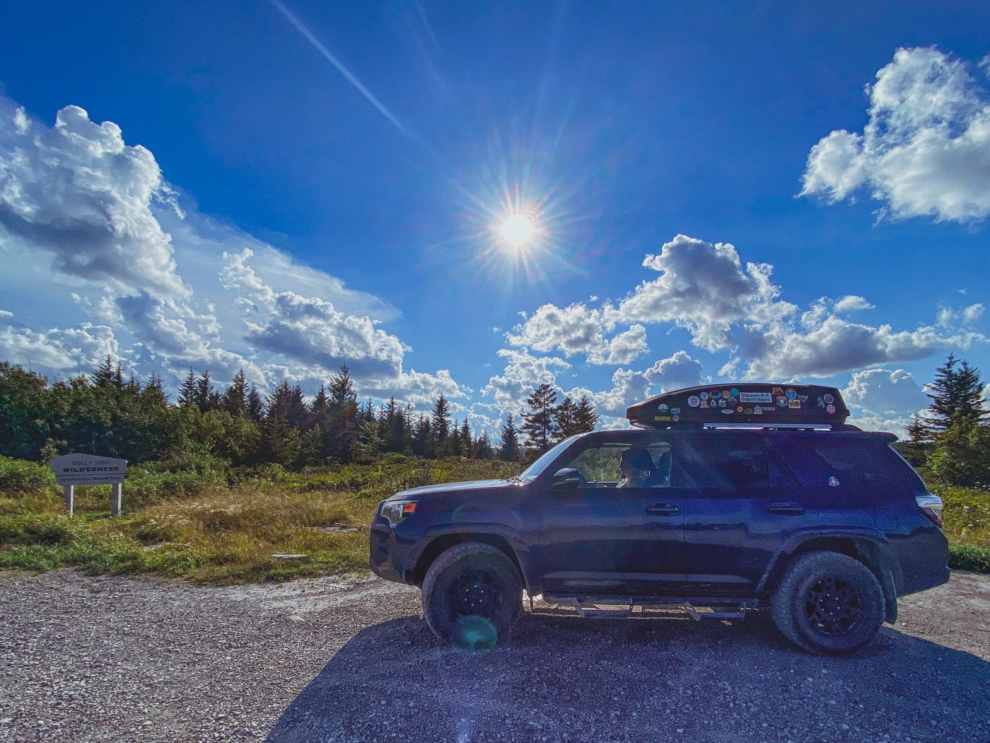
There are two ways to drive into this part of Dolly Sods (well, three, if you count the closed access we tried to take yesterday). Both of the open routes are accessed via Jordan Run Road off Highway 28. Today, I will make a big loop combining both of these access points: I’ll drive in on Jordan Run Road to the intersection with FR75, take FR75 to Bear Rocks, and then continue on FR75 down the “Road Across the Sky” section to where it intersects with FR19. A left turn at this intersection will take me back to Jordan Run Road, closer to 28 than where I left JRR earlier.
Going straight at this intersection takes you to Red Creek Trail, which I mentioned in my last blog; if the road were open it would also take you all the way to Laneville Rd and the western-most entrance to the Dolly Sods Wilderness Area. All of these roads are dirt, but passable by most passenger vehicles with reasonable clearance.
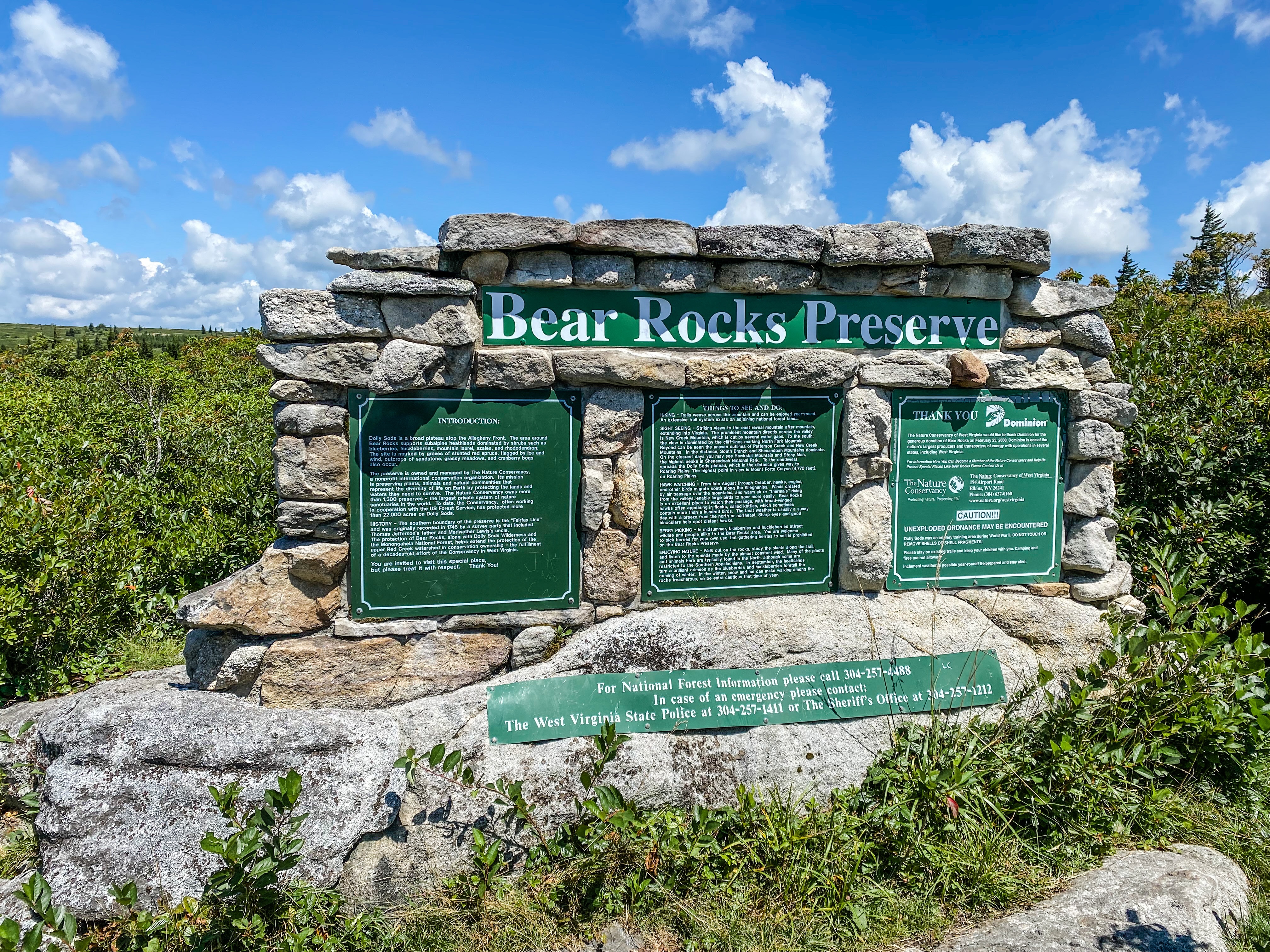
Bear Rocks
Bear Rocks Preserve is a property that is jointly managed by The Nature Conservancy and the US Forest Service. TNC is working to re-forest the region in native Red Spruce, and the high altitude of this area compared to the rest of the region creates and interesting ecosystem. Today, the preserve is covered in fruiting huckleberry bushes, and Paul tells me that there are also blueberry and cranberry bushes here, but those fruited earlier in the season. We hike out over the rocks and spend some time exploring, then have sandwiches on the tailgate of Paul’s truck and talk gear. He makes hammocks, backpacks, and other lightweight backpacking gear, and as a bit of a fellow gear head I can talk about this stuff for hours. We finally realize we’ve gotten sunburnt and decide to begin the drive back down.
Bell Knob Lookout Tower
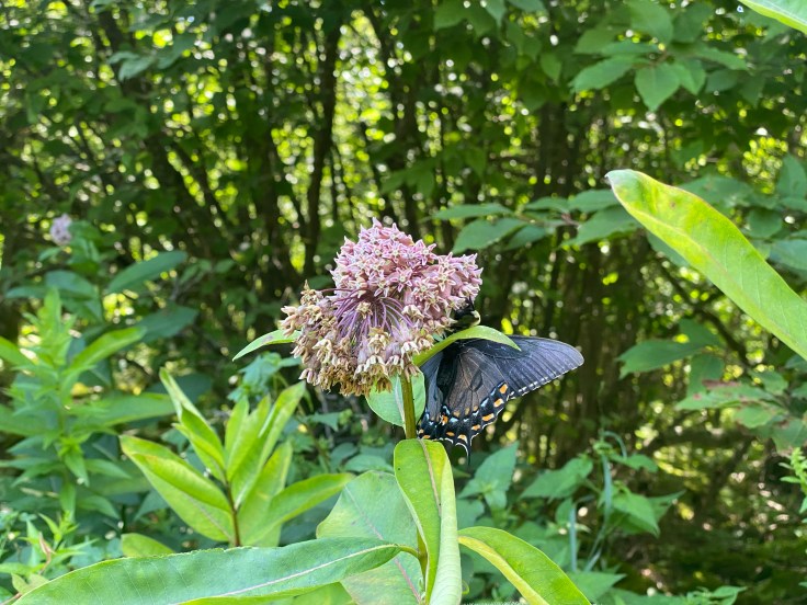
Part way down the “Road Across the Sky” portion of FR75, I have a firetower pinned on Gaia. Bell Knob Tower isn’t one I’ve found a ton of information on, but I want to check it out. I noticed an old gated forest road on my drive in yesterday that I’m pretty sure is the access trail for this tower, and we decide to try it. The trail is lined with late season wildflowers which have attracted a variety of busy bees and, much to my delight, some monarchs and other butterflies! The old roadbed offers a short hike up a gentle grade, terminating at the tower. It is in shambles, to put it lightly.
The stairway is rickety, with rusted metal chain link peeling off everywhere. The stairs themselves seem solid, and I decide to climb up part of the way. The cab of the tower appears to have been literally blown off and is lying around the base of the tower in pieces. You can’t access the catwalk; it is understandably padlocked, and even if it wasn’t I wouldn’t go up there. Unfortunately, unless it gets some serious attention from someone who wants to preserve it, I doubt this tower is long for this world. Some post-hike research revealed that the roof was blown off the tower in a snowstorm in 2010, which is remarkable to me considering how much of it is still intact, laying in the woods around the tower.

For anyone wanting to camp, there are a couple of nice campsites along the old road leading to the tower. We aren’t camping here tonight, though, so we proceed back down FR75 toward Seneca Rocks.
Swimming in the Shadows of Seneca
If you’ve read this far, I’m giving you a little extra tidbit of info as a reward. I had been wanting to go swimming all day, and Paul promised me a scenic swimming hole to end our adventures. I follow him out of Dolly Sods and back toward the tiny town of Seneca Rocks, where we turn into a day use area. Winding around toward the river, we come to a mostly-empty parking lot where Paul points down an unmarked trail. The dirt path leads a short distance to a small, secluded swimming hole in the North Fork South Branch Potomac River at the base of the Seneca Rocks climbing area. Yet again, I have found myself in one of the prettiest swimming holes I’ve ever seen. It seems WV is chock full of gorgeous places to get into the water.

I dive right in, embracing the chill of the water against my sunburned skin. Paul joins me with some coaxing, and while we are enjoying the water a bald eagle flies directly overhead, so close I can see individual feathers. I don’t think I’ve ever seen one that close before, and I wish that I’d had my phone on me to record. Just as well, maybe it is one of those moments that is best preserved in memory rather than photographs. Its a perfect ending to a pretty perfect day, and as the sun sets we head back to Yokum’s for another burger, and back to Seneca Shadows Campground to set up camp.
August 10, 2022
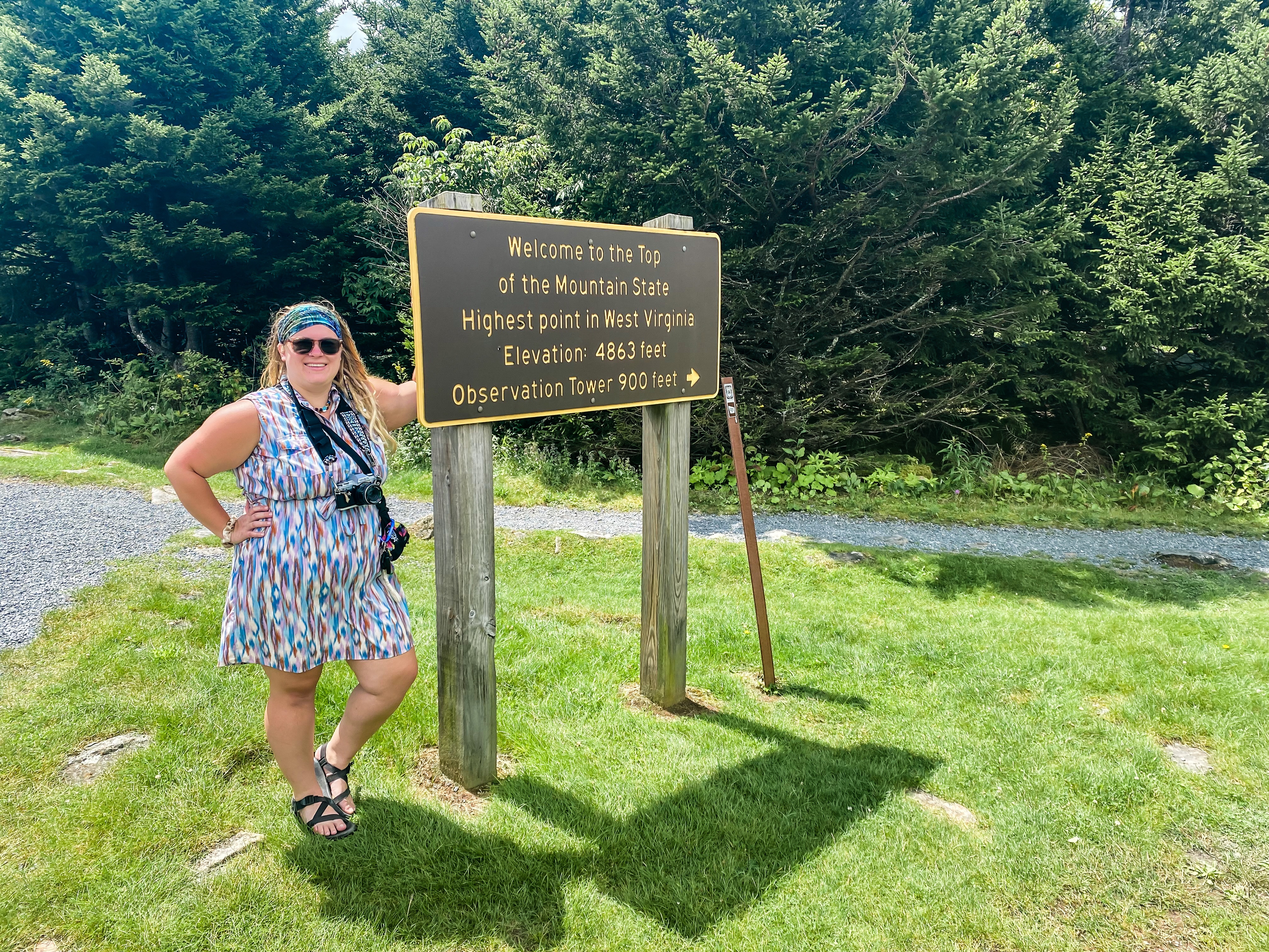
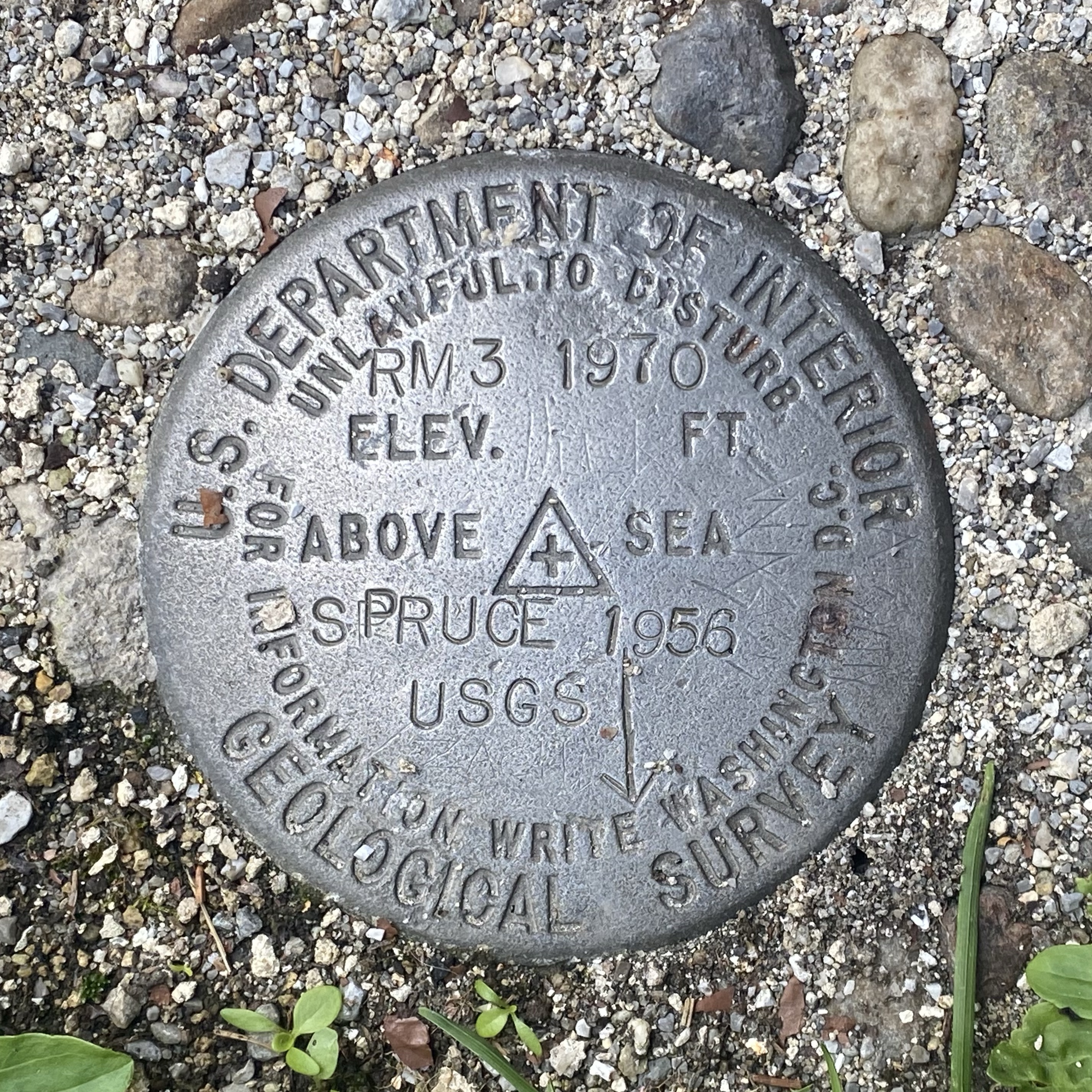
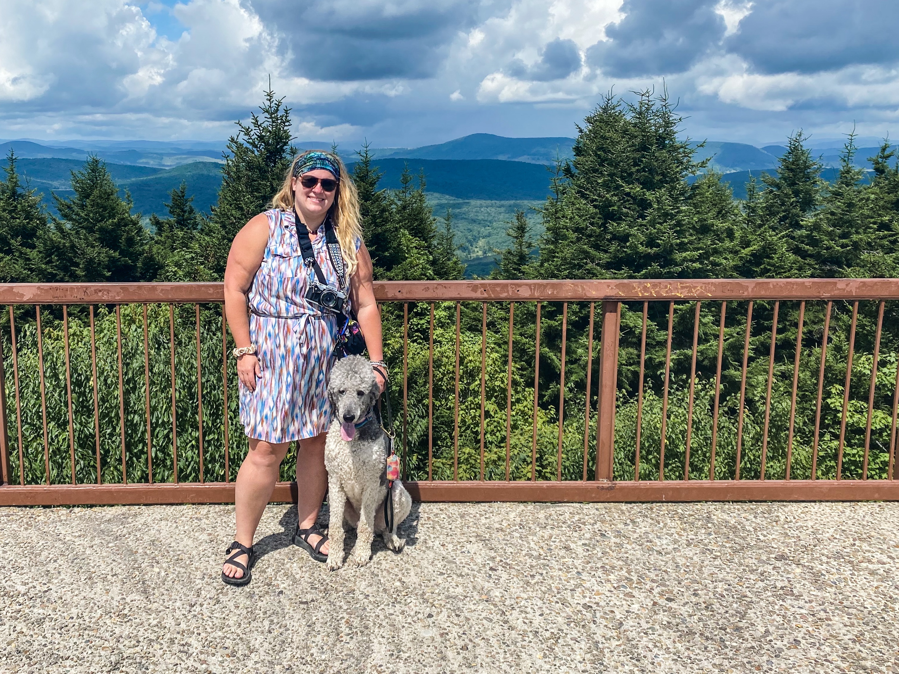
Spruce Knob: WV High Point
I have to head home today, so I awake and pack up camp. I have one more adventure planned this morning before driving back to Charleston: I want to see the highest point in West Virginia. Spruce Knob is a fairly short drive from where I’m camped. A short loop trail leads through a high-elevation spruce forest to an observation tower at the high point. It’s a full 10 degrees cooler up here than it was down at camp! I climb the tower for the 360 degree view from the top, and then check out the different viewing areas and information boards before heading back to my car to make the three hour drive home. It’s been another jam-packed week of adventuring in the Mountain State, but now I’ve got to get ready for a week of work.