Yesterday I hiked Pinnacle Peak for the first time. I’m a bit ashamed to admit that I’ve been putting off this hike for a couple of years now due to believing it was too difficult for me to complete successfully. Many of the guides and reviews I’ve found about this trail online state that it is rated “most difficult” and includes a “relentless uphill climb to the top”. These statements put me off a bit, because one of the worst feelings in the world is putting in a good effort and still having to turn back without reaching the summit.
Well, I unexpectedly got a day off on Monday, both from school due to a holiday and from my other jobs. I had an entire day off, and for once in several weeks it was going to be above freezing AND sunny, so I decided now was as good a time as any to give this hike a try. One of my hiking goals for this year includes trying to push out bigger mileage hikes than my typical 2-3 mile day hikes. With a total mileage of 7 miles, this hike really fit the bill.
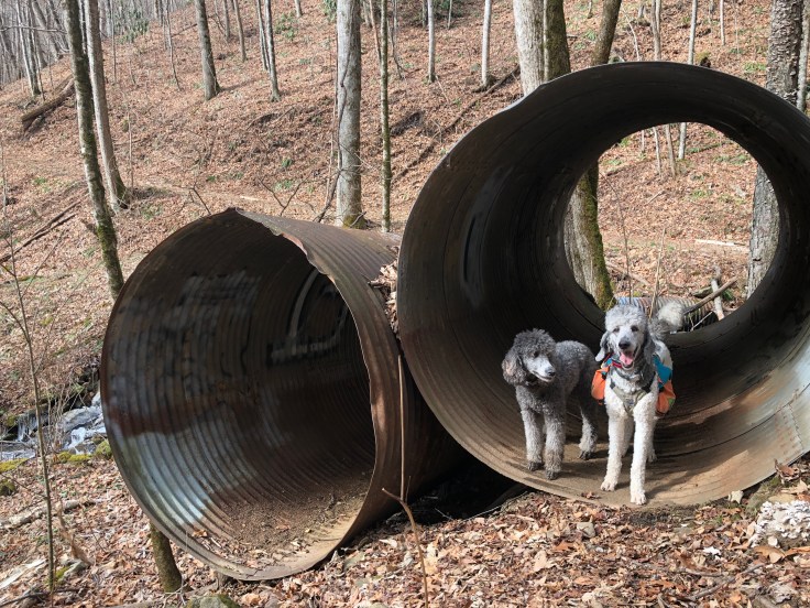
I met up with a gal named Maggie and her pup Camille at the trailhead – we are both in the North Carolina chapter of Girls Who Hike and connected via the associated facebook group – I highly recommend joining the group for your state if you’re interested in meeting up with new hiking partners! The trailhead for this trail is in Pinnacle Park in Sylva, NC. There are a few different trails that can be accessed from this trailhead. We took the West Fork Trail, which leads off from the parking area past a gate and up an old logging road.
Part 1: The Climb
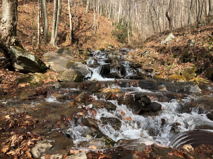
After leaving the parking lot, the trail begins to climb rather steeply up an old logging road. We passed several small waterfalls that are visible off to the right – these are part of the Bridge Trail, which forms a loop with the West Fork Trail back to the parking lot. After a few minutes of climbing on the West Fork Trail, we came to an intersection with the Bridge Trail. Here, you head off to the left (trail west) to continue on the West Fork Trail.
The trail continues to climb steadily for about two miles and passes several official campsites, marked by a tent sign on a tree. Staying on the main trail, which is randomly and irregularly blazed with purple and gold blazes, is fairly easy if you pay attention. At a hair over two miles, we came to an intersection marked with a sign – left for Pinnacle Peak and right for Blackrock Mountain. Keeping left again, we head up a steep embankment and around a switchback.
This two mile climb must be the reason this trail is rated difficult. It is fairly steep compared to other trails I’ve done in the area. However, the trail is wide, well-maintained, and not technical at all. While I stopped to catch my breath a few times on the ascent, it really wasn’t that bad. The old roadbed that serves as a foundation for this trail is scattered with rocks, but this was more of an issue for me on the downhill than the up.
Part 2: Leveling Out
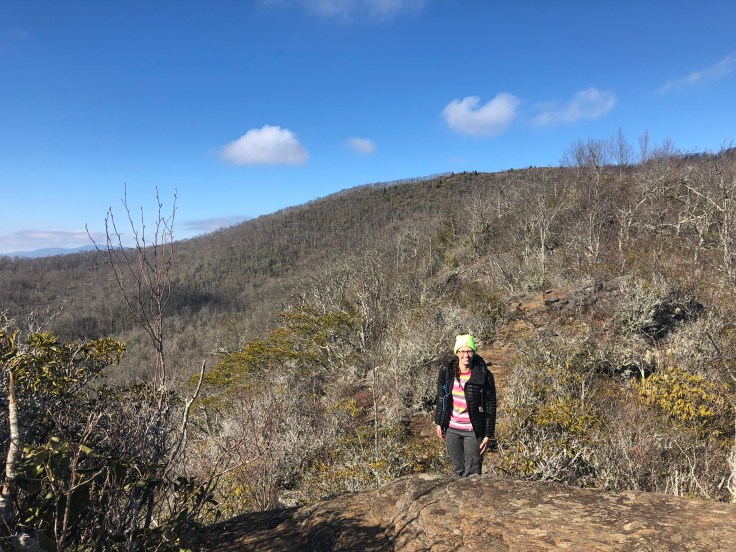
The final mile of trail is fairly level, with a few short climbs. It is nothing compared to the first two miles. There are even a few short areas of gentle downhill grade as you approach the summit of Pinnacle Peak. This is the part of the trail that no one else seemed to mention. It was a pleasant walk and Maggie and I were able to make good time and carry on a conversation while we hiked. We both commented on the changing flora as we began to emerge from tree-cover. Here, the foliage starts to look like high-elevation plant-life: short, stubby, and evergreen plants growing out of moss-covered rocks. There is a short but steep rock scramble down and then back up to the summit, and we’ve made it!
Part 3: The Summit
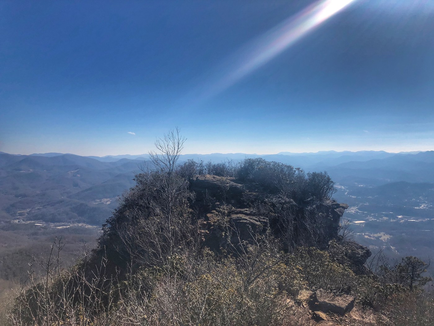
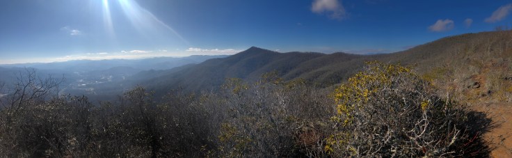
There are three areas on the short downhill scramble that offer a view. The first one we came to likely wouldn’t offer much in the summer, but gave some nice, tree-framed views of the valley to the west.

Continuing downhill, theres a rock outcropping that offers some good views to either side of the trail, and directly in front of you is the summit of Pinnacle Peak.
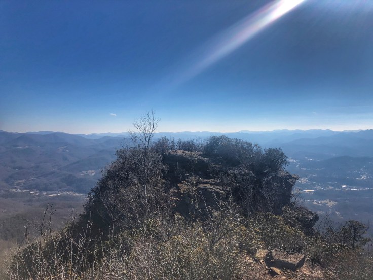
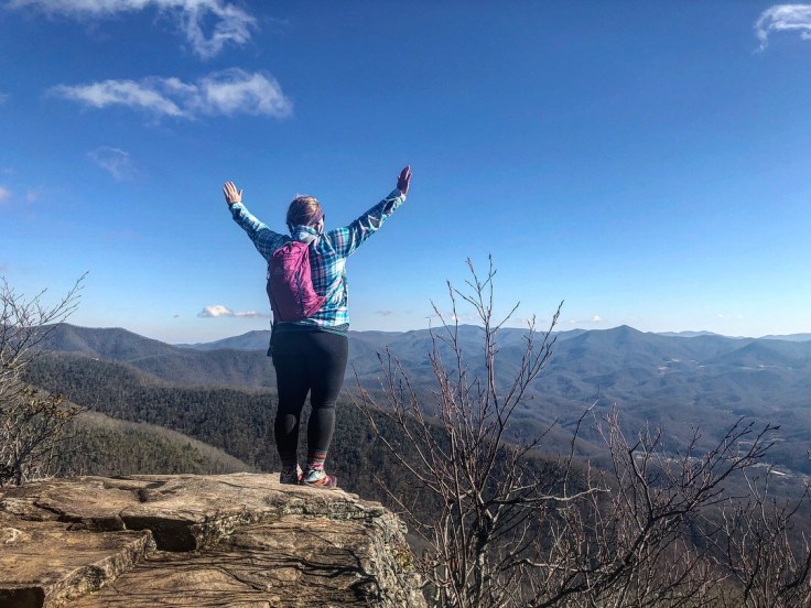
Finally, climbing back up Pinnacle Peak you will find breathtaking 360 degree views of the surrounding mountain ranges, valleys, and – far below – the city of Sylva, NC. You can see Blackrock Mountain to the left (northeast), which you’ll remember can be reached via the other branch of the West Fork Trail about a mile and a half back.
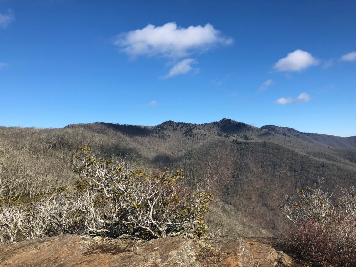
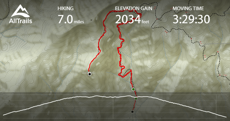
The summit sits at 5,008 feet elevation, resulting in a 2,034 foot climb from the parking area in the valley below. While enjoying the views, Maggie and I enjoyed an Appalachian Mountain Cider, a local cider brewed over in Boone, NC, and one of the best ciders I’ve ever tried.

After a brew and a snack, we began the return trip back to the car. This is an out and back hike, despite what is listed on AllTrails (maybe you can make a loop out of it, but we didn’t attempt that). We grabbed a few more shots as we headed north away from the summit and back down the trail the way we had come.


Great pics an description! Based on what you experienced, I’ll definitely try again! What was the way down like? Were the moving rocks a slipping hazard? Potentially bothersome for older knees? So glad you did it, Stacia!!!
LikeLike
There was some ice/mud on trail yesterday that definitely made for slipping hazard. If it was dry, you’d still need to be careful because many of the rocks are loose. However the trail is wide and it’s easy enough to avoid the worst of it. I think it must be rated difficult more for the rocky terrain than the elevation gain. I didn’t have any trouble with my one bad knee, but you definitely might want to take it slow.
LikeLike
Congrats for crossing a tough hike off your list! I love when you hike something that people have been telling you is a hard hike and you’re able to do it with no problem.
LikeLike