I awake to birds chirping and sunshine glistening off everything, my surroundings still damp from nighttime showers. My co-worker, Amanda, is on her way from Charleston this morning to meet me for a weekend of adventures. I slept like the dead in my hammock last night, as I usually do. I climb out and walk Shooter, then dress for the day and cook breakfast. My go-to camp breakfast is either a bacon, egg, and cheese sandwich or a veggie omelette. A sandwich is on the menu today. I eat, down a Monster, and clean up camp. Amanda arrives and we plan our day.
It’s Saturday, and my 5 day Covid quarantine is up. I feel fantastic, but still, I want to do a hike that won’t be too crowded. I figure it’s best to avoid populated areas for another day or so. I have GPS coordinates for a couple of waterfalls on Red Run, a small creek that empties into the Dry Fork of the Cheat River. Google Maps says it’s only 30 minutes away. Perfect. We head out.
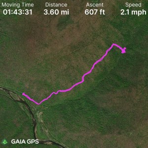
Turns out, it is not 30 minutes away. I’m not sure what my GPS was thinking, but the drive takes us more like an hour and 30 minutes. Oh well, Amanda and I both enjoy taking in the scenery of rural West Virginia. It should be noted, for anyone considering heading to this waterfall, that “Dry Fork Road” is extremely curvy and is basically a single lane road with two way traffic, a cliff face on one side and a sheer drop down to the river on the other. The drive was a bit unnerving, even for someone used to and well versed in driving mountain roads. An alternate route is via “River Road” which is a gravel spur off Dry Fork Road. We opted to take the high route due to recent flooding and not knowing what condition the road at river-level would be in.
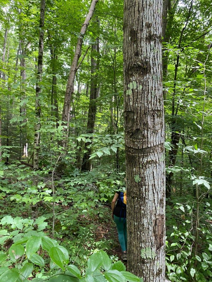
We safely reach the spot where old FR244 sharply and steeply joins Dry Fork Road. We park here and walk up the gravel forest road. Another note for anyone planning this hike: most cars could make it the first tenth of a mile up to where the road is gated, but there is only space for one, maybe two cars there and it’s a tight turn around. Most of this hike is on the gravel road beyond the gate, which is now closed to motor vehicle traffic. It’s an uneventful and rather boring hike until the point at which you leave the road, which is marked by a rather evil-looking “smiley face” on a tree. This is the landmark Amanda and I are watching for as we walk and chit-chat.
Amanda is a bit ahead of me and notices the marker first. There’s no official trail to these waterfalls, but by all accounts I’ve read there should be a discernible path. We start downhill, and I let Amanda take the lead. This is the first time we’ve hiked together, and I hope she’s comfortable with this sort of “off trail” travel. There are a few areas where the trail is easy to lose track of, but it’s fairly easy to follow. I had read that the trail was steep, but the only truly steep part is the very last drop down to creek-level, which is not only steep but also very slick and muddy.
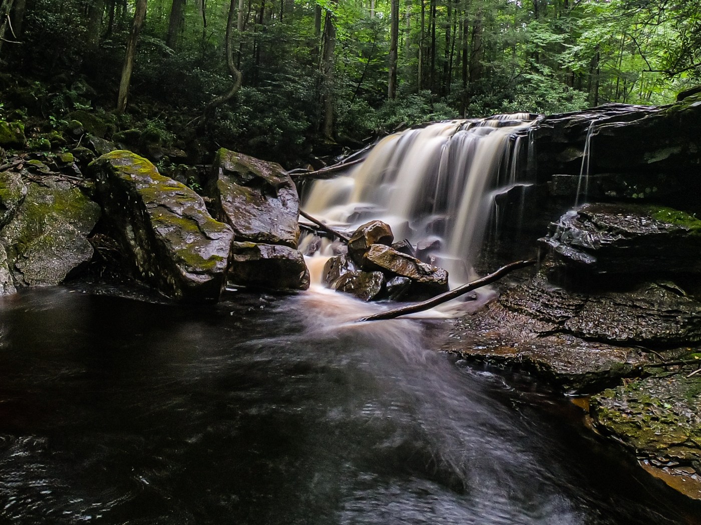
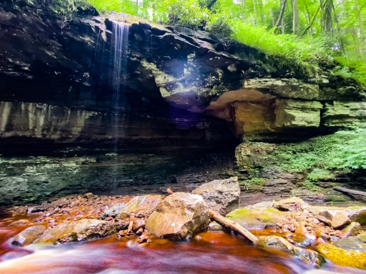
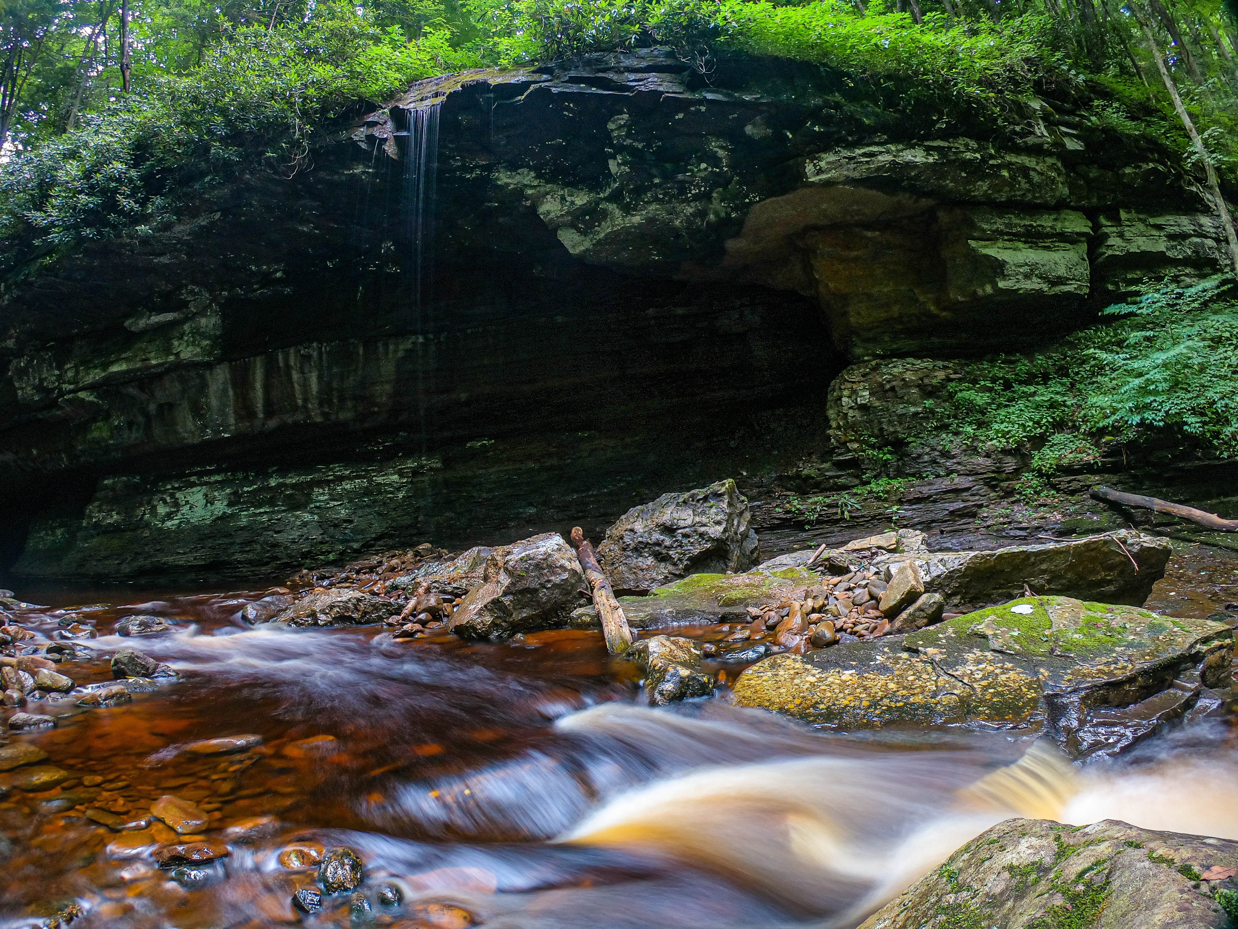
There are two waterfalls on this creek. One on Red Run Creek itself and one on a tributary flowing over a ledge and free-falling into Red Run. I had read that this waterfall needed high flow to look its best, and was hoping we would catch it running well after all the rain last night. We can hear the waterfall before we see it, and while it is running, it is nothing near as high-flow as I would have liked. Surprisingly, we run into two other women down at the creek. They pet Shooter and chat for a moment, asking if we’ve ever been here before. We haven’t of course. They move along and Amanda and I spend some time taking photos of the “Waterfall Downstream from Red Run Falls.”
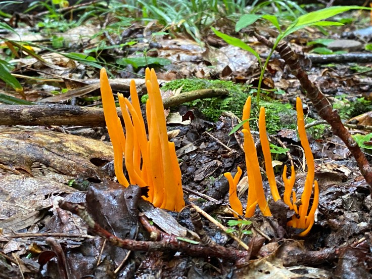
The second waterfall, Red Run Falls, is just upstream, and we scramble around to view it from a ledge above the creek. This one is flowing significantly better and, while not as tall, is still quite impressive. As we are taking photos, we begin to feel the patter of rain drops. We quickly snap a few photos, throw our packs on, and head back up the scramble path before it gets even muddier.
Together, both of these waterfalls are worth the hike. It isn’t overly long or difficult, and even if the first waterfall isn’t flowing well, the creek is exceptionally pretty, being stained red from the tannin in the soil and rocks.

Back at the car, Amanda and I decide to take a different route back to our campground to hopefully spend less time on the one-lane road we came in on. The drive is still long, but less wind-y and less dangerous. When we make it back to the campground, we have enough time left before sunset to head back up to Bickle Knob Firetower. Amanda wants to see it after my description of the sunset last night, and we spend some time enjoying the view before heading back to camp to make dinner.


Leave a comment